Routes
Daily stages on map
Skibotn Road – Loassuhytta
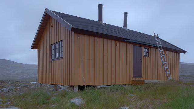
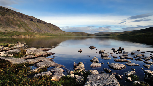
On Saturday, July 21, 2001 we drove to the Norwegian side and parked by the roadside. Along the way we had stopped in Kemi, Ylitornio, and Kolari. We started walking at 5:00 p.m. We continued until we realized we had drifted off the route, so we climbed over Gieddeoaivi and reached Lake Loassu and the Norwegian hut at midnight. 13.3 km, 7 hours = 1.9 km/h. At the beginning the weather was sunny and warm with a light breeze. There were mountain birches and shrubs. Higher up there were occasional low clouds, though it hardly rained, and toward evening the sky cleared again. Near the summit of Gieddeoaivi it was windy. At first the terrain was gravel with some boggy patches, vegetation mostly grasses. Along the streams there was rock and boulder ground, and at times grassy terrain. The final stretch over Gieddeoaivi was entirely boulder fields all the way to the Loassu hut. One fisherman was staying in the hut; there was plenty of space and mattresses on the beds.
Loassuhytta – Meekonjärvi
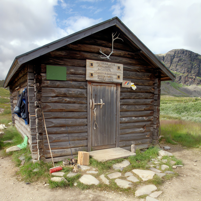
On Sunday, July 22, 2001 we set off at 1:00 p.m., taking a break at Urtashotelli, and arrived at Meekonjärvi hut at midnight. 19 km, 11 hours = 1.7 km/h. The weather was cloudy but dry, and the valley was sheltered. The terrain alternated between gravel, grassy ground, and boulder fields, with no major elevation changes. Several times we had to wade across the river, which caused some difficulty. At Urtashotelli we took a meal break; the wind made it chilly and we had to put on extra layers. Then another river crossing and more boulder fields heading east. Near Meekonjärvi the boulder field became difficult. We tried unsuccessfully to wade across Pierfejohka, and eventually crossed via the bridge. The hut was full, so we pitched the tent outside.
Meekonjärvi – Coahpejärvi
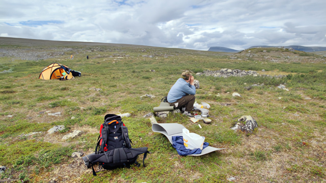
On Monday, July 23, 2001 we started walking at 1:00 p.m., took a break at Kuonjarjohka, and reached the area behind Saarijärvi at 1:00 a.m. 19 km, 12 hours = 1.6 km/h. An easy section overall, mostly gravel terrain, though with some ups and downs. At first the scenery was still impressive, then became more monotonous. At Kuonjarjohka we took a long break in the new hut, during which a heavy rain shower came and went. At Saarijärvi the hut was full and there were few tent sites, so we continued along the trail for about a kilometer and pitched the tent on a good spot on a small peninsula by the lake.
Coahpejärvi – Saanajärvi
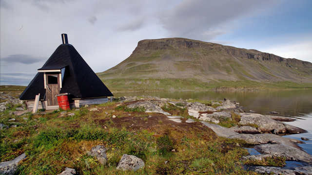
On Tuesday, July 24, 2001 we set off at 1:00 p.m. and reached the far side of Lake Saanajärvi at 6:00 p.m. 8.7 km, 5 hours = 1.7 km/h. In sunny weather we walked along a muddy trail, then left the route and crossed a meadow to the foot of Saana. We pitched the tent on a rocky spot by Lake Saanajärvi — a poor tent site, hard and sloping, and sleeping was difficult. In the evening we climbed a couple of hundred meters up the steep slope of Saana. The air was calm and the sun shone from the northwest. The view south opened beautifully, and to the west Pältsa was visible.
Saanajärvi – Saana – Saanajärvi
On Wednesday, July 25, 2001 we started walking at 6:20 a.m., visited the summit of Saana, took a break at the Saanajärvi day hut, and arrived at the kota at 3:00 p.m. 12.8 km, 8 hours 40 minutes = 1.5 km/h. The morning was cloudy but dry. We followed the eastern edge of Saana and climbed steeply from the northern end up to the ridge, then south along the trail to the summit. The wind was strong and visibility poor, with clouds hanging low. On the way down we began to meet retirees and other tourists heading up, some in T‑shirts carrying plastic bags. We descended the northern end via the stairs and continued to the Saana hut for a break. Then we walked along the eastern shore of Lake Saanajärvi to the kota at the southern end. Rain began along the way. We decided to spend the night in the kota.
Saanajärvi – Kilpisjärvi
On Thursday, July 26, 2001 we set off at 7:25 a.m. and reached the road at 9:00 a.m. 3.6 km, 1 hour 35 minutes = 2.6 km/h. The weather was cloudy but dry. We descended through birch forest along a muddy trail with many boardwalks. As soon as we reached the store’s parking area, our ride arrived and we headed to Oulu.
Total distance of the hike: 76.6 km. We did not visit Halti, mainly due to footwear choices and a slight lack of time — no rest days had been planned. With proper boots we might not have become so tired and rest days might not have been needed.
Hike 2001
The backpacks were a bit too heavy at first, though we got used to them. Next time the gear should be more appropriate, the packs lighter, and the schedule more relaxed. Another observation: wilderness huts are not reliable for overnight stays — they are fine for daytime breaks. Drying gear by the stove is unrealistic; equipment must be such that it dries quickly even outdoors. The scenery was beautiful, though we did not reach true open fell country this time, as the route followed valleys and did not offer wide views. At times the weather was cloudy. Before Saarijärvi the view from the fell was excellent toward Pältsa, and from Saana we could see Rieppegaise, Goahterotrassa, and Paras.