Routes
Daily Stages on the Map
In the summer of 2024, I felt the need to take another trip to the fells of northern Sweden. I still had some camping gear left over from my previous trip, so I didn’t really need to buy anything new. Since I was now setting out on a solo hike, I packed my Akto tent into a smaller backpack, bringing my total load down to about 16 kg. The Mårma area had been on my mind for quite some time. I planned to approach it from the Nikkaluokta direction this time, because when I had previously tried from the Abisko direction, I had gotten stuck in the Abisko Alps. I had a maximum of 6 days available. The fells of the Kebnekaise region are well-equipped for hikers, with mountain huts, well-marked trails, and bridges over streams. However, cell phone coverage does not extend to the entire area.
Nikkaluokta – Darfálláhku
On 11 July 2024, after breakfast at around 07:30, I began driving north. I refuelled the car in Ylitornio and bought some additional snacks. Driving via Överkalix and Gällivare, I encountered no roadworks. I arrived in Nikkaluokta at 14:20. The weather was foggy and rainy, with clouds at about 1000 metres. I changed into hiking clothes (shell gear) in the car and finished packing the backpack. Then I walked to the reception of Nikkaluokta Sarri AB’s main building and paid for parking (40 SEK/day). After that I was ready to head into the terrain. I followed the wide, gravelled Dag Hammarskjöldsleden to the Čievrrajohka bridge.
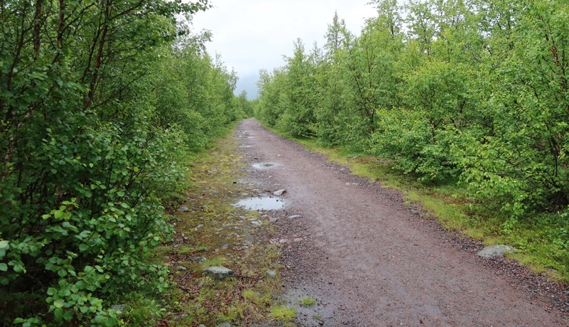
Quite a few rain‑clad hikers came towards me. After the bridge I turned onto a narrow forest path that followed the river upstream; there were no other hikers there. The rain had stopped, but the brush was wet. There were some mosquitoes, but not unbearably many. The weather was warm enough that I didn’t use gloves, though the uphill made me hot. At a large boulder I took a break and drank from the stream. Soon I reached above the treeline and into fell terrain.
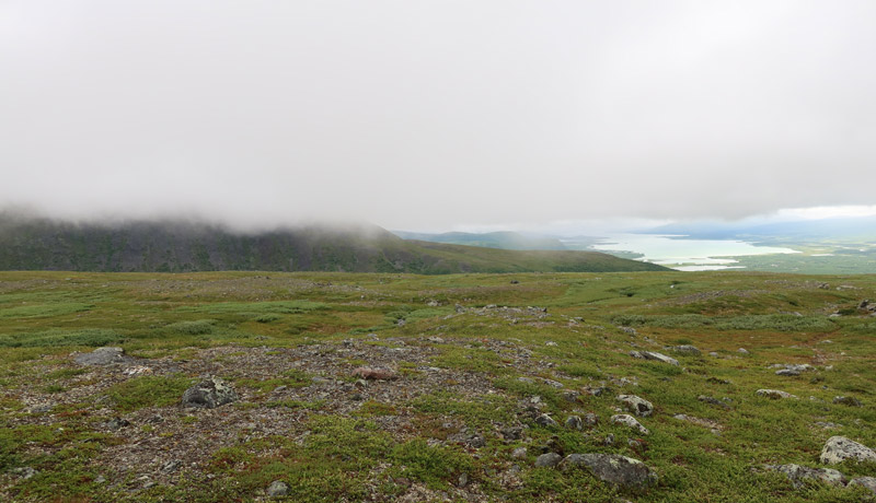
I passed the 940 m lakes — we had camped there on the 2016 trip. Although the fells were unusually snow‑free and dry this summer, the lakes still held water. As I climbed to 1000 metres I reached the clouds and visibility dropped to 10–15 metres. The route was familiar, and by keeping the upper slope on my left and the lower slope on my right, I made steady progress. I occasionally checked my position on the GPS. My goal was to reach Čievrraláhku to camp. The terrain there is rocky and tent sites are scarce; on the 2016 trip we found a good spot near Čievrrajávrre. But as I assessed my energy while walking, it felt unlikely I would make it that far — my boots were wet again, especially the right one. I remembered that near the reindeer herder’s hut there was flat ground suitable for a tent, and a sizeable stream in the ravine for water. I decided to head there using the GPS. When I reached the stream ravine and began descending, I found a perfect tent spot right on the slope. Why not, I thought, and pitched the tent. It was 18:12 (Swedish time) and I had walked 13.9 km. The weather remained foggy; nothing would dry in these conditions. I requested a weather forecast via the GPS — it promised better weather for the next three days, even sunshine. Despite the lighter pack, the walking had been tiring. I thought that I wouldn’t manage to explore the entire Mårma area, but perhaps I could still climb the highest 1944 m summit. I ate a Reiter meal and a chocolate bar. To reduce weight I had not brought wading shoes; in the Kebnekaise region they are rarely needed. My “camp shoes” were two plastic shopping bags, which I also carried in case the boots got soaked (see previous trip). In the Akto tent one can only lie down, so it was natural to begin resting.
Darfálláhku – Vássajávri
On 12 July 2024 I woke at 06:00. The clouds were higher now and visibility was better. It was cloudy but calm. After breakfast I made coffee and ate some mini cinnamon buns I had brought. Then I packed up and at 07:55 continued onward. I thought that today I should get close to Mårma if I intended to visit it — I would need time for the return as well. My pace is slow enough that the return might take three days. I crossed Čievrraláhku easily; the rocky terrain didn’t hinder progress much. Soon I descended into Kaskasavagge and crossed the stream via a bridge. I took a chocolate‑bar break behind a bank sheltered from the wind — the westerly wind had strengthened considerably.
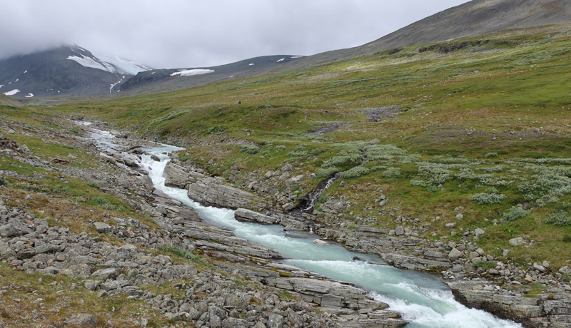
According to the GPS, 10.85 km of fell terrain was behind me. I then climbed over the Njunni ridge and descended the long slope into Visttasvággi.
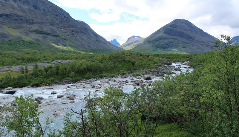
I crossed Visttasjohka via a bridge and continued to the bridge over Vássajohka. I visited the dilapidated turf hut on the far side, took a break and ate a chocolate bar — the GPS now showed 20.5 km. The clouds had thinned and the sun was shining warmly. Now came the final challenge of the day: the ascent to Vássajávri, where I hoped to find a tent site. From there I could make a day trip to the 1944 m summit. About 4 km remained, with over 600 metres of ascent. The birch forest at the start was dense, requiring weaving between branches; moose trails helped in places. The wind kept the mosquitoes away. Higher up the brush ended and the slope eased. Vássanjunni was rocky. I descended to Vássajávri, crossed the lake’s outlet on stones, and reached the tent site at 16:40, having walked 24.1 km. Despite the brisk wind I managed to pitch the tent and began resting. The day had again felt strenuous. I sent an OK message home via GPS. Then I ate a chocolate bar and salami. While resting I had dinner and later cocoa and more cinnamon buns. The wind eased during the evening.
Day trip to Mårma
On 13 July 2024 I woke at 07:18 to clear, sunny weather with only thin clouds in places. The sun was already warm and there was hardly any wind. I had intentionally left sunglasses at home, and that seemed to work — the weather was ideal for a summit day. After breakfast and coffee I set off at 08:15 with a light pack towards the 1944 m summit of the Mårma massif. I climbed the rocky slope beside a small glacier to the ridge at 1700 metres. The ascent was straightforward — the rocks were small and the slope not too steep. From the ridge there were already views of the surrounding mountains; I walked to the edge to look at the Moarhmmá glacier. Before the summit there was a good view towards Šielmmáčohkka. I reached the summit shortly after 11:00; there was a bit of wind, so I put on a jacket.
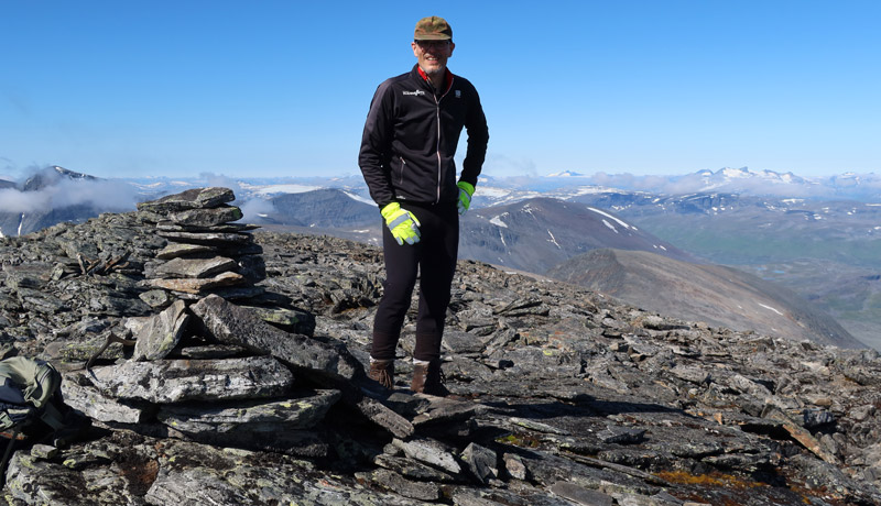
In addition to Šielmmáčohkka, I could see Höktopparna, Kåtotjåkka and many other peaks and slopes of the Mårma region. I admired the scenery for a while and took photos — the terrain looked rocky and difficult. I ate a chocolate bar and then began descending back to the tent. The ridge was easy to walk, and lower down the snow at the glacier’s edge made progress easier. I reached the tent at 13:13; the day trip was 10.2 km, took 4 h 57 min, and included 804 metres of ascent. I washed sunscreen off my face at the lake. The rest of the day I rested in the tent, sheltered from the sun with the doors rolled open. At 16:02 two hikers passed the tent heading towards Visttasvággi. At 17:20 a small reindeer herd passed in the opposite direction. I planned to start the return journey early the next morning to avoid the heat. After dinner and cocoa I went to bed at 19:00. But I couldn’t sleep immediately, and the originally planned 03:00 wake‑up was postponed to 06:00.
Vássajávri – Duopmačohkka – Beahččarláhku
On 14 July 2024 I woke shortly after 05:00. The weather was calm and completely cloudless; the sun was already warming the tent. After breakfast and coffee I packed my things. I thought that today I certainly wouldn’t get cold while walking, so I put on sun‑protective clothing. I filled my water bottle — I suspected I might get thirsty, and in these dry conditions water might not always be available. At 07:12 I began walking, climbing diagonally up the slope, then continuing on snow in the stream gully until I reached flatter ground. The Kebnekaise region’s mountains were well visible from here. I climbed diagonally to the Ruomasčorru ridge above 1400 metres. I followed the rocky ridge downward until I reached the saddle where Šnjalžogurra descends into Leavášvággi. There was no water, but I took a short break, ate a chocolate bar and drank 3 dl of water. I then climbed to the Duopmačohkka ridge above 1400 metres and continued along the rocky ridge to the 1509 m summit.
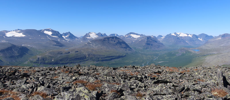
I admired the scenery for a while, sat down, ate a chocolate bar and drank another 3 dl of water. I was already somewhat dehydrated. I then descended diagonally 400 metres to the east side of Roavičohkka, where I found a small stream and drank. I continued at the same elevation along the slope of Ruohkkečohkka; the streams there were dry. In the ravine south of Ruohkkečohkka I found a larger stream, filled one litre into my bottle and about three litres into the Platypus water bag, and drank four cups of water. Then I began looking for a tent site. I had to walk almost two kilometres before finding a flat spot. Lower down there would have been places near the stream, but I didn’t want to descend, as I would have to climb again the next day. I camped at 14:43 on a flat, dry area at just under 1100 metres. I had walked 19.7 km.
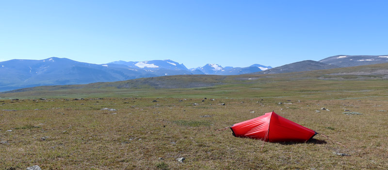
The sun was now so hot that the tent was uncomfortable; I lay in the shade behind it. Around 20:00 the weather cooled slightly and the tent became tolerable. I ate dinner, salami, a chocolate bar, and later cocoa and biscuits. The hot weather again led me to plan an early start the next day. I set the alarm for 04:00, but moved it to 05:00 after a large reindeer herd passing the tent woke me.
Beahččarláhku – Nikkaluokta
On 15 July 2024 I woke at 05:00. The weather remained the same — completely cloudless. I ate breakfast and drank coffee. At 06:36 I set off, carrying one litre of water in the pack just in case. I first climbed gently to 1150 metres on Dolakčohkka, then followed the mountainside, drinking occasionally from small ponds. I reached a slightly larger pond and took a short break. I continued past the saddle between Guhppusčohkka and Giebmečohkka, then angled down the slope towards the reindeer herder’s hut. I knew that an ATV track descended from there (https://www.fjeldsofsweden.com/tour/marma/1). Following it would make it easy to pass through the otherwise difficult birch thickets of the lower slopes. I sat briefly on the hut’s steps and ate a bar, then followed the ATV track down to the road.
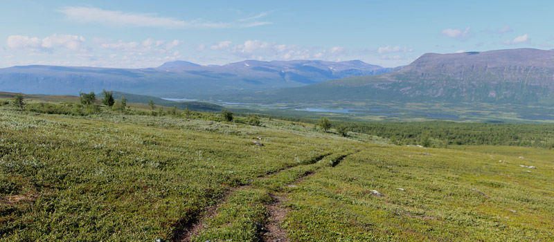
The final couple of kilometres I walked on asphalt to the car, arriving just before 11:00, having walked 16.6 km. I changed clothes and began driving. I picked up a hitchhiker at the parking area — a Swedish mountain guide heading to Kiruna airport. The first 70 km of the long drive passed easily in conversation about mountain hiking. The rest of the trip went smoothly as well; I refuelled only in Haukipudas.
Notes: A pleasant trip, though a bit rushed. I saw the Kebnekaise region’s mountains from a slightly different angle this time. New hiking destinations came to mind — in the Mårma area, but also Påssustjåkka, Pyramiden and Reaiddáčohkka. One gas canister was enough and did not run out. I didn’t need the power bank at all. Sunglasses weren’t necessary since there was hardly any snow. The boot‑soaking problem continued, though the weather dried up and so did the boots.